
I’m pretty sure Sundays were our hiking days when I was a kid. Several families I grew up with would pack picnics, meet at a different trailhead, and spend part of the day in the woods. I can’t remember which trails we hiked most often, but I can still picture us eating lunch on top of Mount Pisgah.
The drive to the trailhead is still one of my favorite parts of this hike. You’re already high in the mountains by the time you turn off the Blue Ridge Parkway, and there are views right from the parking area. From there, it’s a short hike to the summit, with most of the climbing packed into the rocky second half.
Trail at a Glance
- Location: Blue Ridge Parkway milepost 407.6, southwest of Asheville, North Carolina
- Distance: Approximately 3.2 miles round trip
- Elevation Gain: About 712 feet
- Difficulty: Moderate to strenuous, with a steep, rocky upper section
- Average Time: Allow about 2–3 hours, including time at the summit
- Dogs: Welcome on a leash no longer than 6 feet.
- Parking: Follow the access road past Buck Springs Gap Overlook to the Mount Pisgah parking area. The trail starts at the far end of the lot.
Getting There on the Blue Ridge Parkway
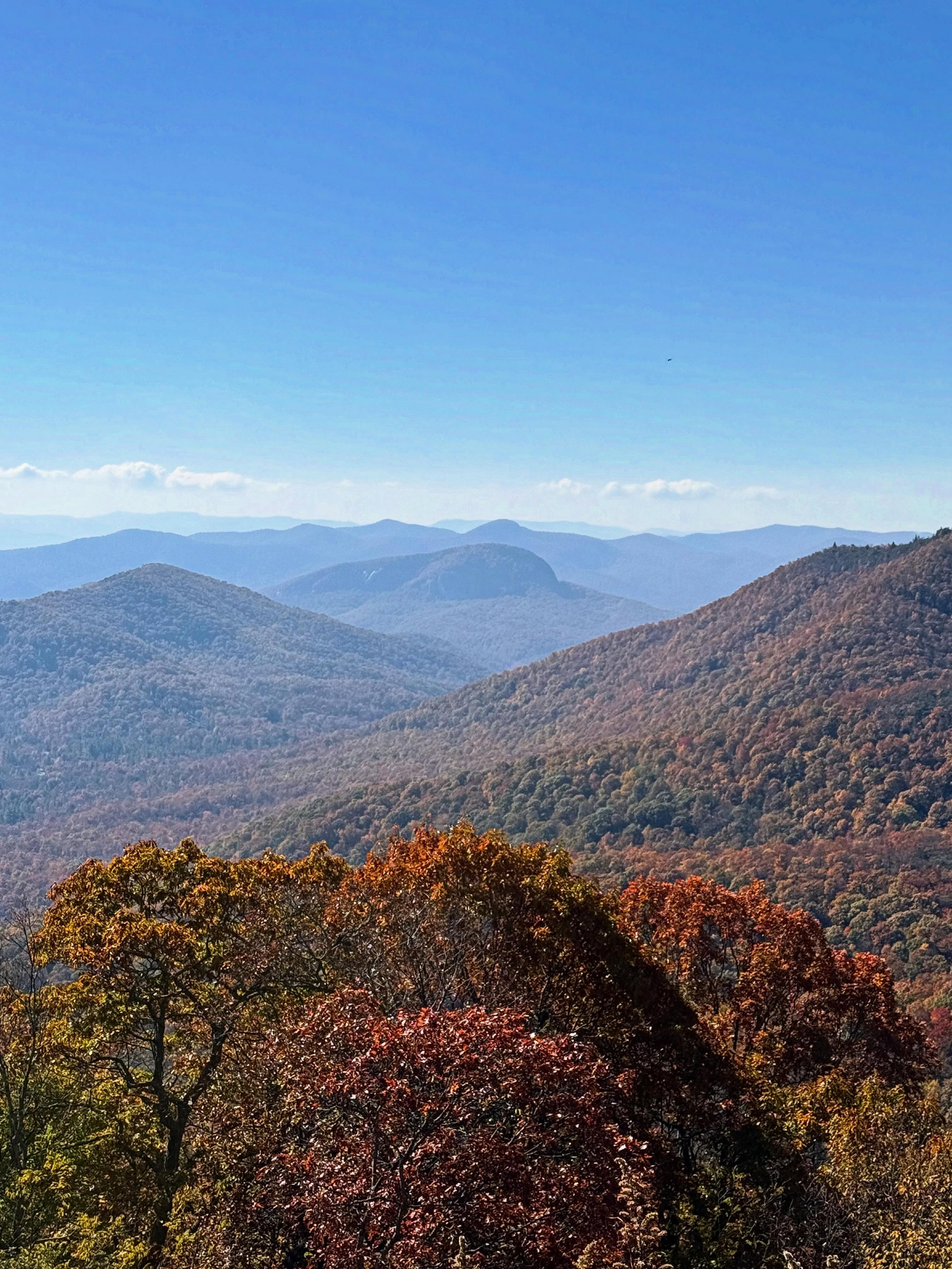
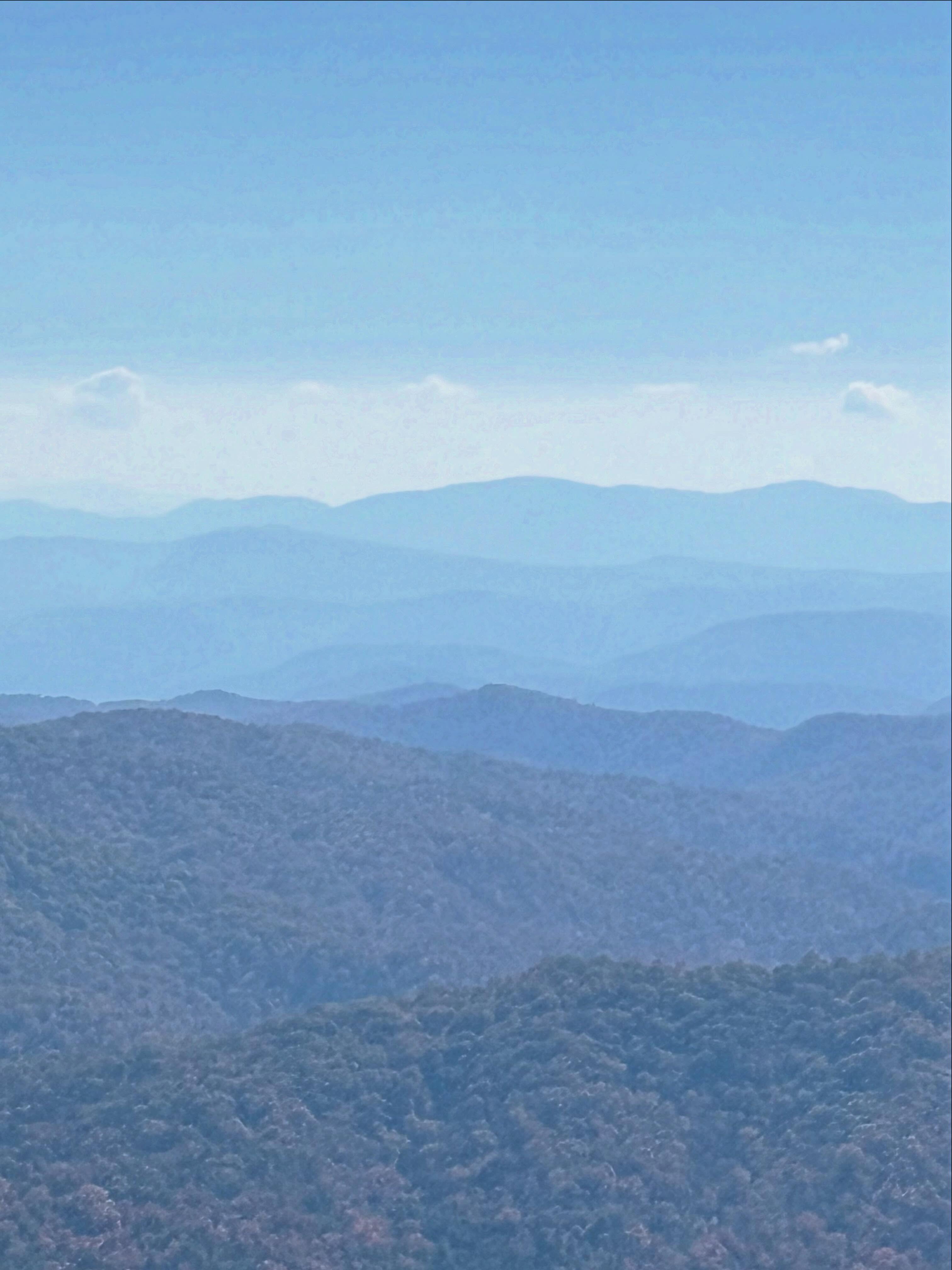
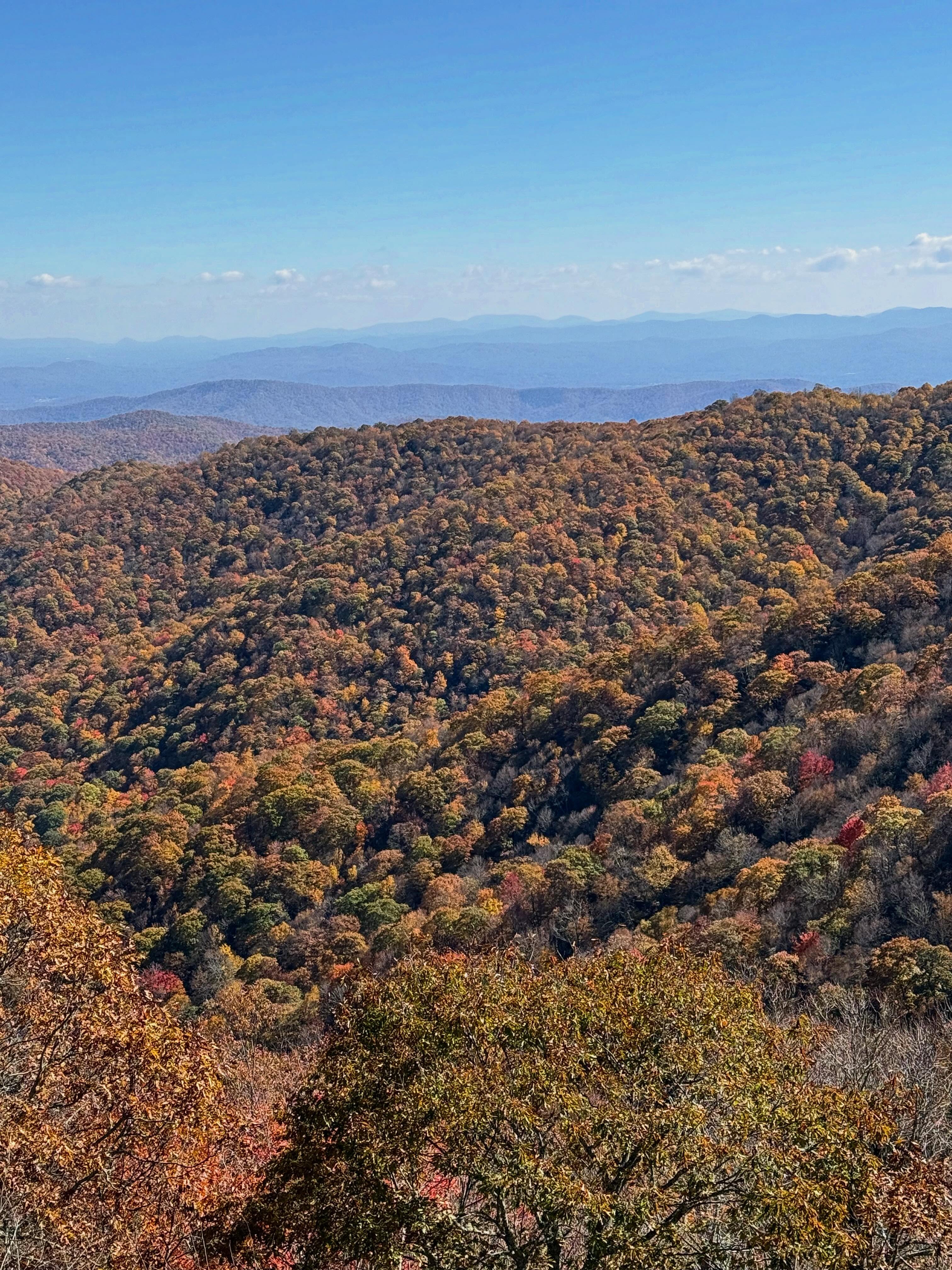
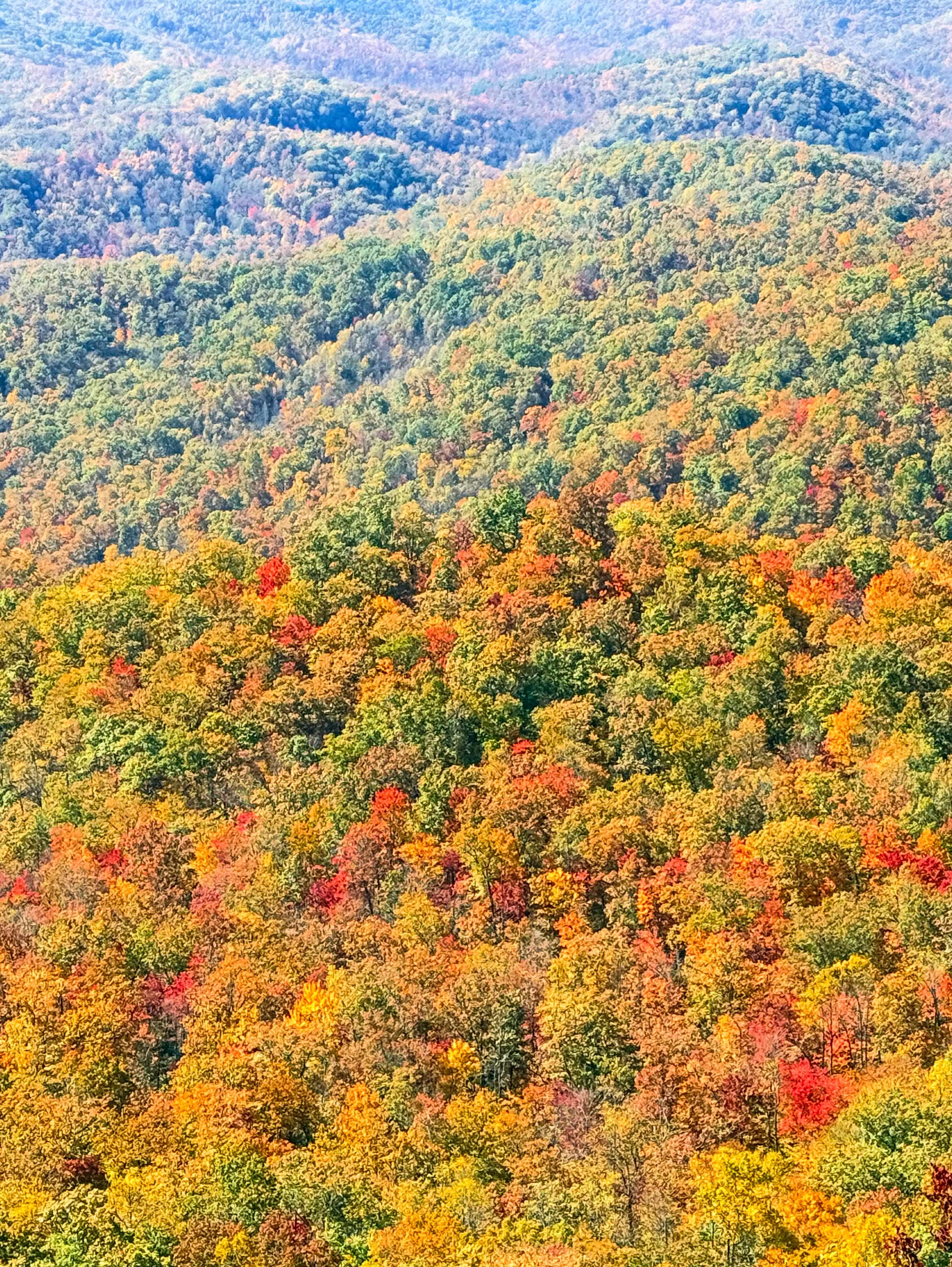
The Blue Ridge Parkway runs 469 miles between Shenandoah National Park in Virginia and Great Smoky Mountains National Park in North Carolina. Around Mount Pisgah, the overlooks make it easy to pull over and take in the layers of ridges before you’ve even put on your hiking boots. I especially love this drive in fall, when you can see patches of color across the slopes. Check the National Park Service’s Parkway road status page before heading out, since weather and maintenance can close individual sections.
What to Expect on the Trail
The first stretch takes you through the woods and across a couple of small water crossings. If you’re hiking with a dog, you’ll pass those same spots again on the way down. Water is almost always available, even in drought..
The second half is where you feel the climb. The trail gets steeper and rockier, and I pay more attention to my footing coming back down than I do going up. If you like having extra stability on uneven ground, this is a good hike to bring trekking poles.
At the Summit
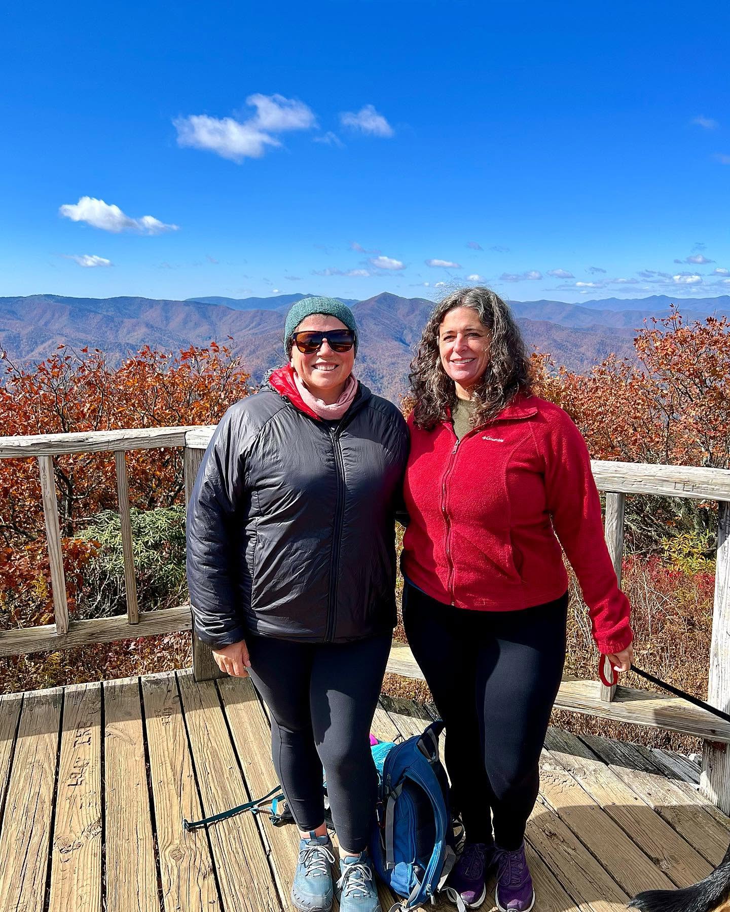
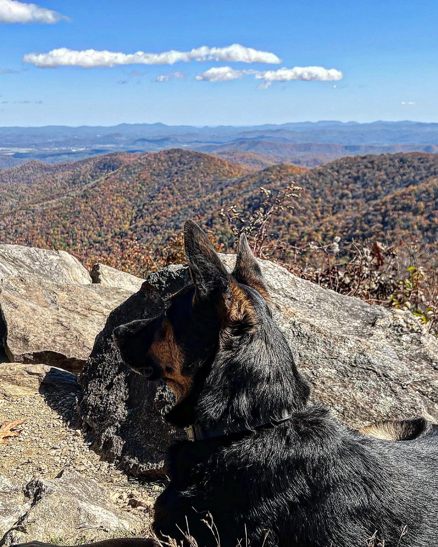
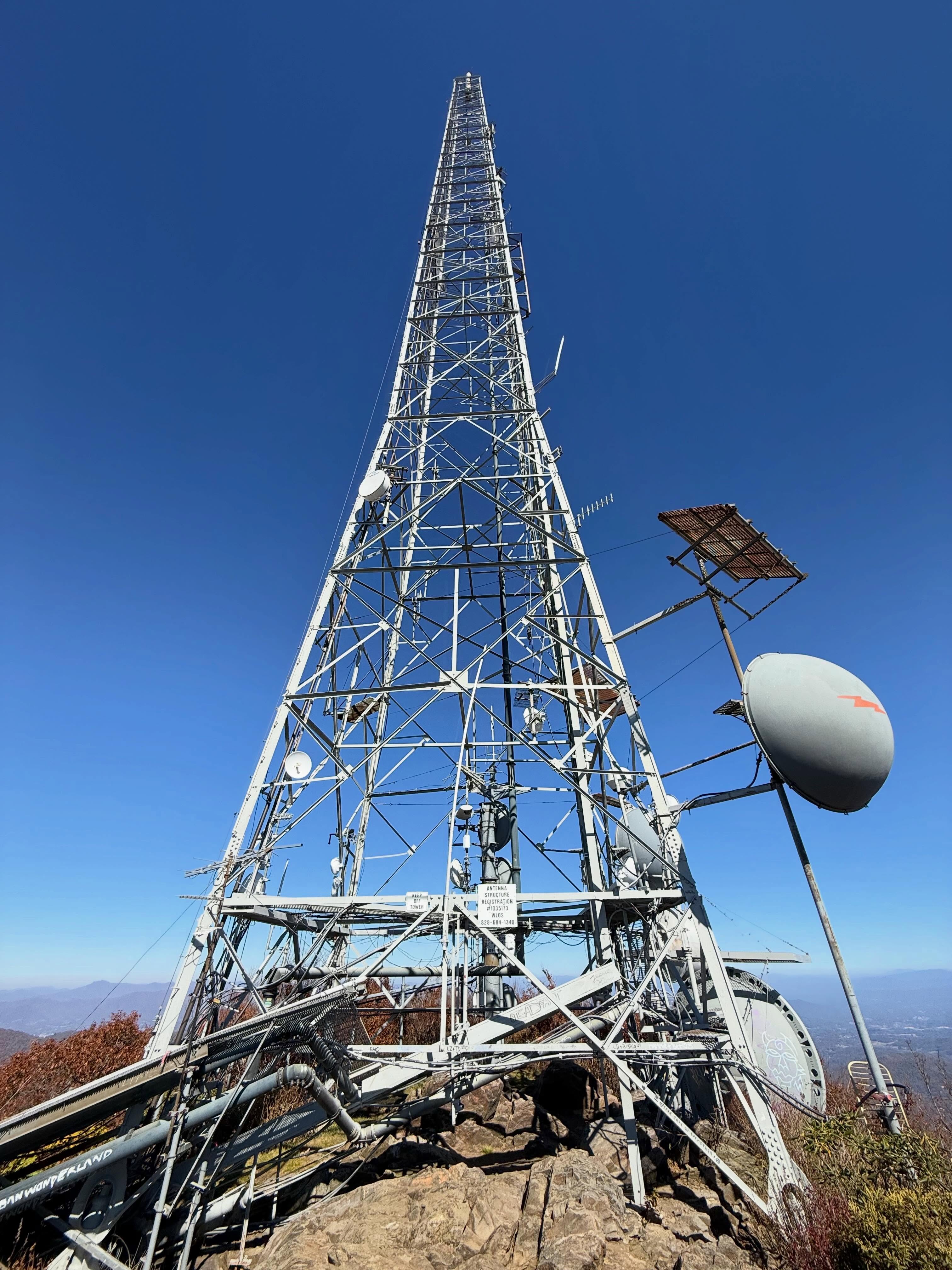
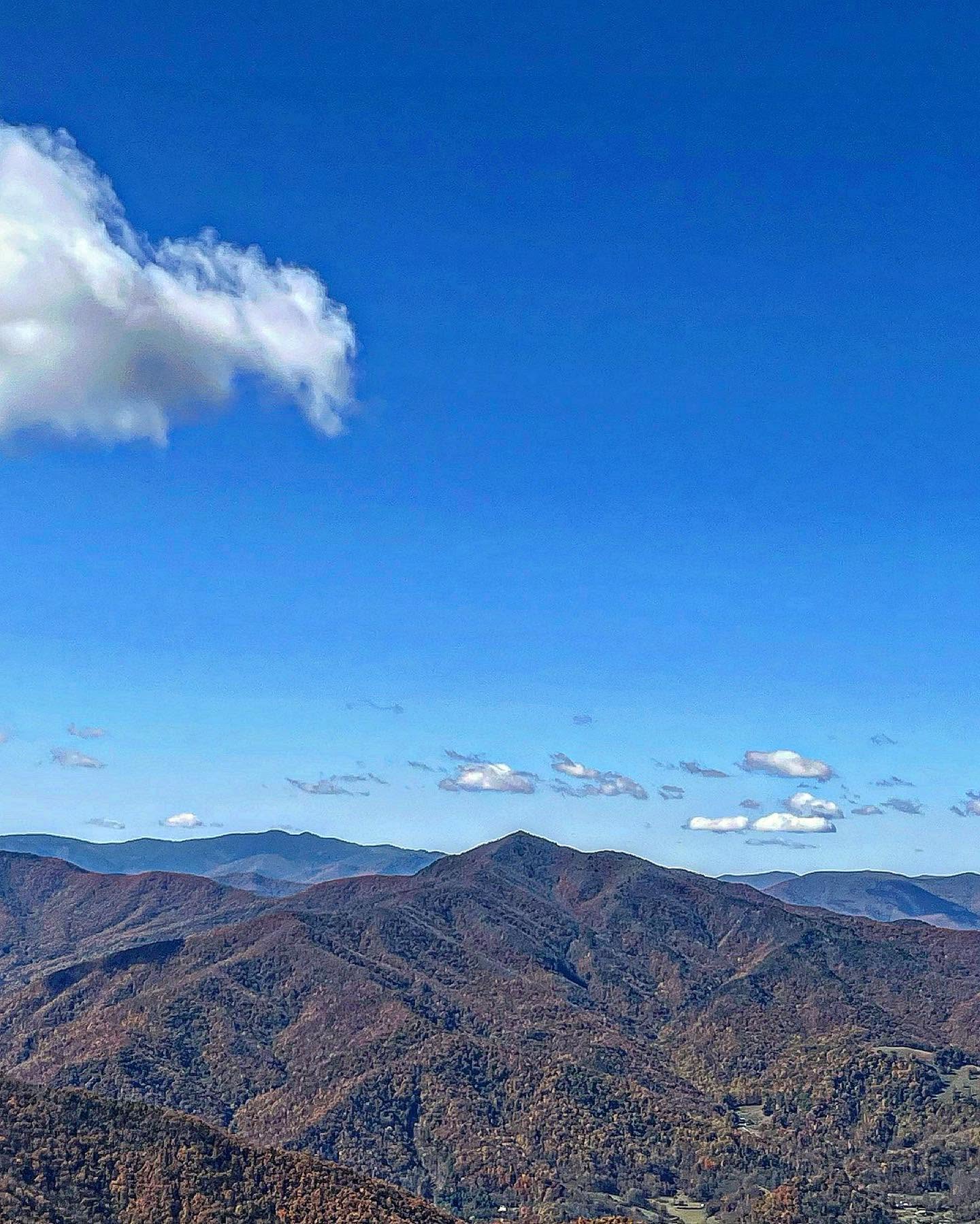
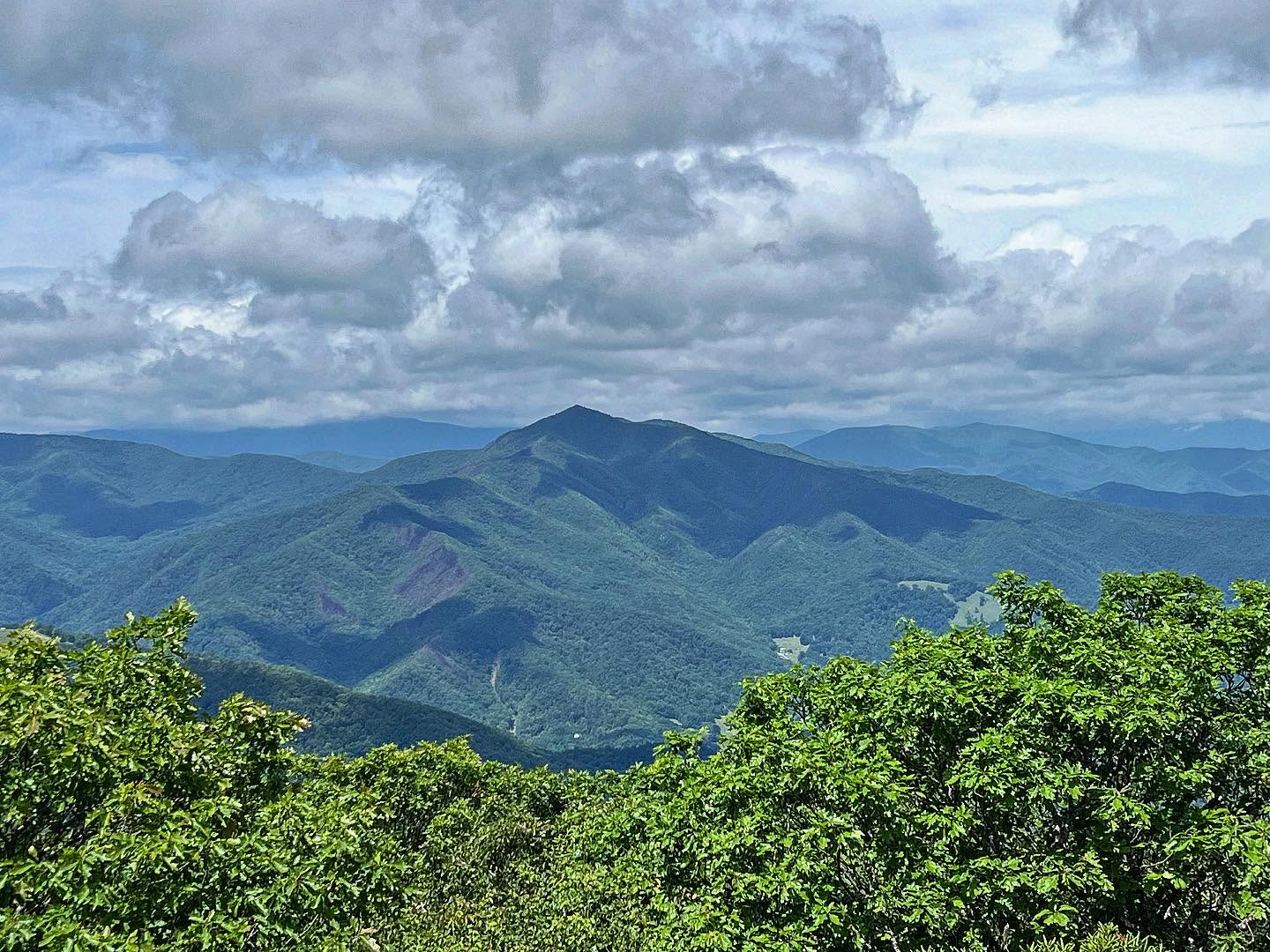
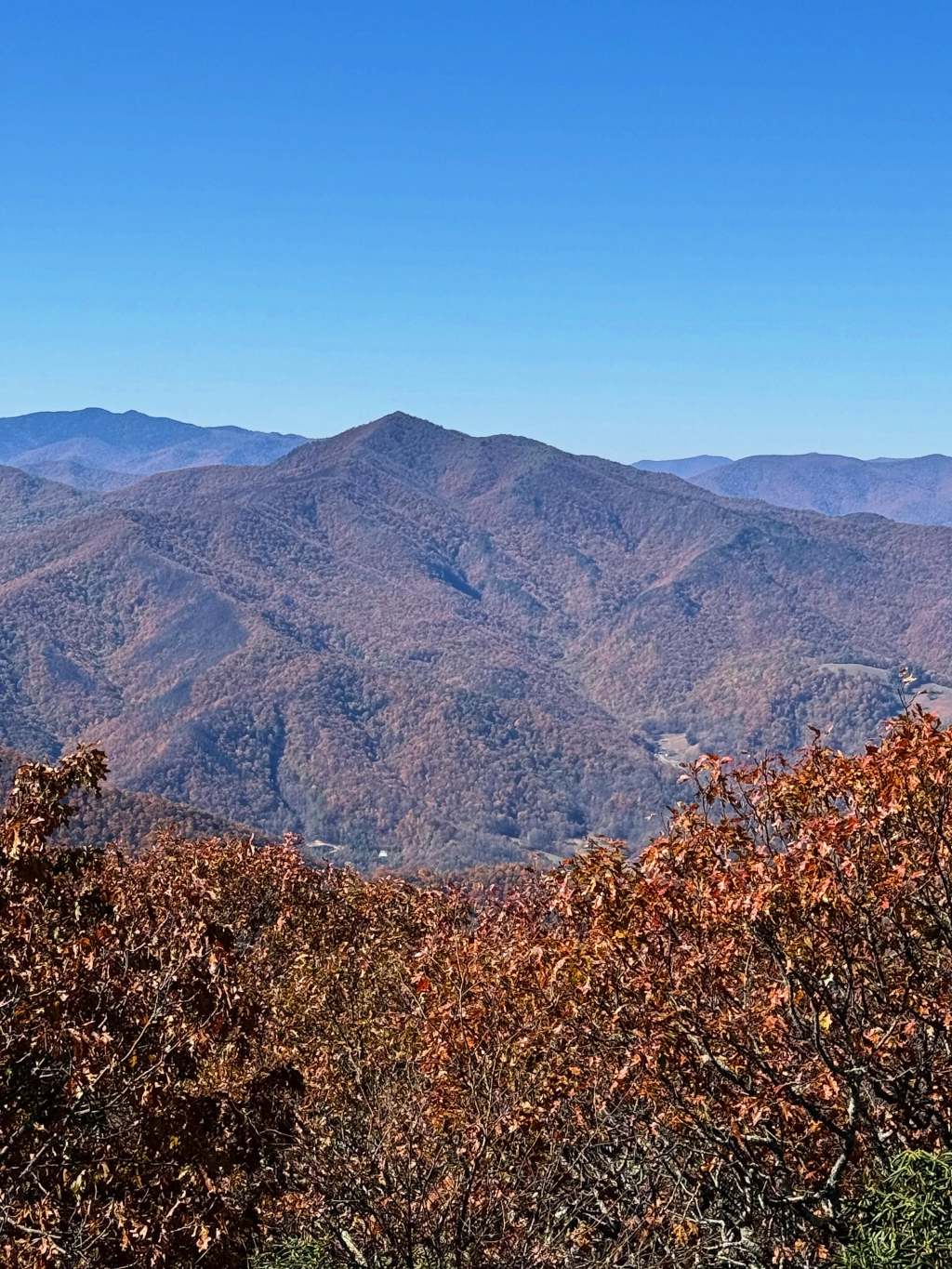
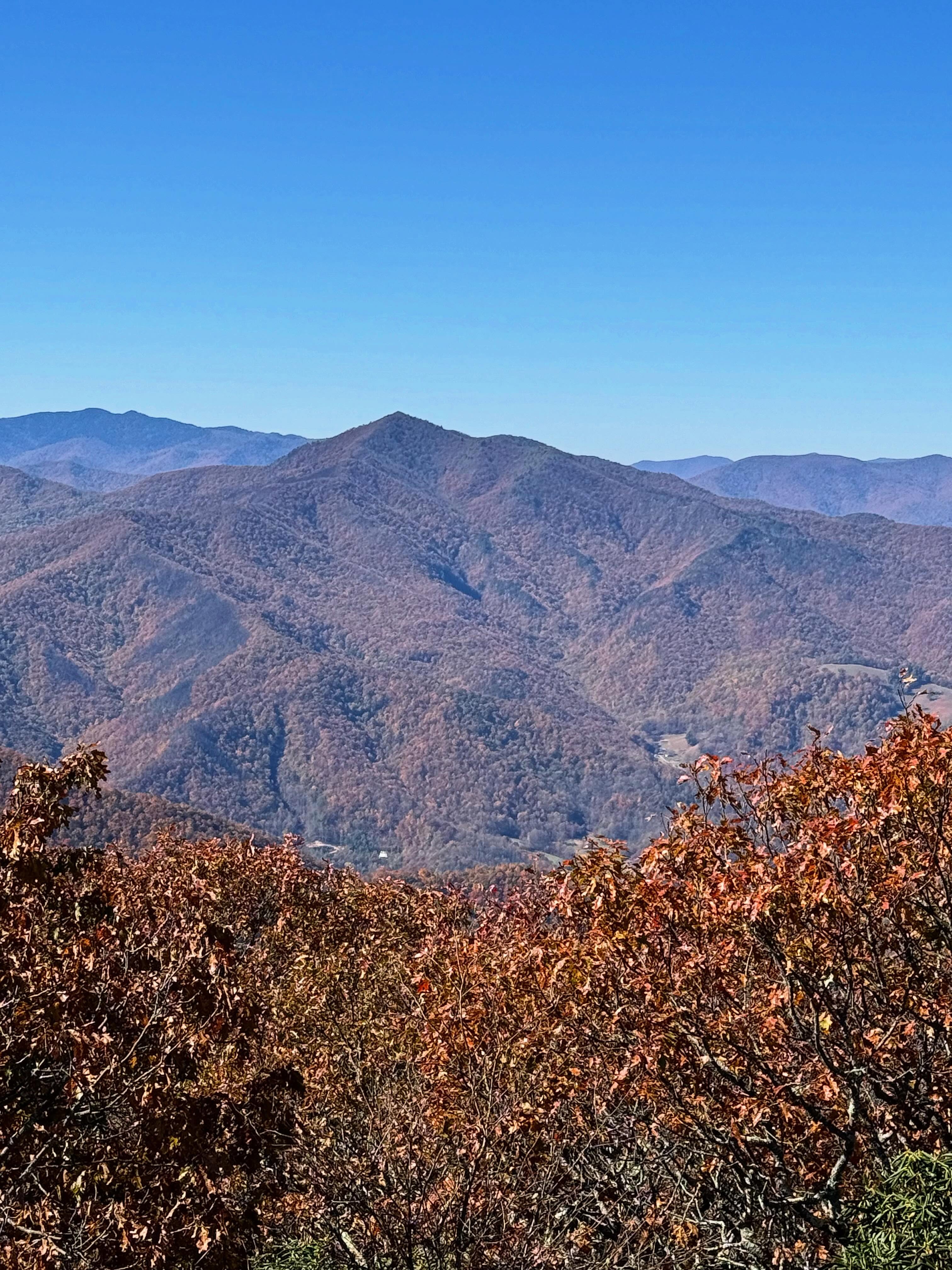
The wooden observation deck has railings and room to linger over the view. On a clear day, you can see across the French Broad River Valley toward Asheville and look out over ridges in the Shining Rock Wilderness. There are also boulders where you can sit and have a snack. If you’re hiking with kids, I’d keep them close around the rocks and use the deck for taking in the view.
You’ll also see the summit’s most recognizable landmark, the broadcast tower. The mountain has been part of local television history since Asheville’s WLOS went on the air in 1954 with a transmitter installation on Mount Pisgah. It’s the same landmark you can pick out from the parking area before you begin the hike.
Fall is my favorite time to go. I like seeing the color from the Parkway and then getting a wider view of those same ridges from the summit. And if you have time, pack a picnic. Of all those hikes we took as kids, lunch on Mount Pisgah is the part I can still picture.


Leave a Reply